
Flood Risk Check: Cork, Co. Cork
10 official risk checks for any property in Co. Cork. Trusted by home buyers across Munster.
Check Any Cork Property
Enter an Eircode, address, or paste a listing URL
Official data sourced from Irish government agencies


Flood Risk in Co. Cork, Munster
Cork's 3 major river systems (Lee, Blackwater, Bandon) define the county's flood risk landscape. Combined with its coastline, Cork faces both fluvial and coastal flooding threats. The OPW has mapped detailed flood zones across Cork's towns including Cork City, Cobh, Mallow. A PropertyPack report checks your specific Eircode against official flood probability maps, historical flood events, and planned flood relief schemes.
location_onCo. Cork at a Glance
- Population
- 584,000
- Province
- Munster
- Coastline
- Coastal county
- Character
- Mixed Urban / Rural
- Main Rivers
- Lee, Blackwater, Bandon
Official Risk Checks
Government Data Sources
Average Report Time
Reports Generated
What We Check for Every Cork Property
Every PropertyPack report covers 10 distinct risk categories, all aggregated from official Irish government data.
Plus more checks across insurance, neighbourhood, transport and more.
See Full Reportarrow_forward
Know the risks before you sign in Cork
Discover the full picture of any Cork property. Our reports combine data from 10 official sources to simplify your due diligence and protect your investment.
Explore a Sample Reportarrow_forwardProperties for Sale in Cork
Latest properties on the market in Co. Cork. Click “Check Risks” to run a PropertyPack report on any listing.
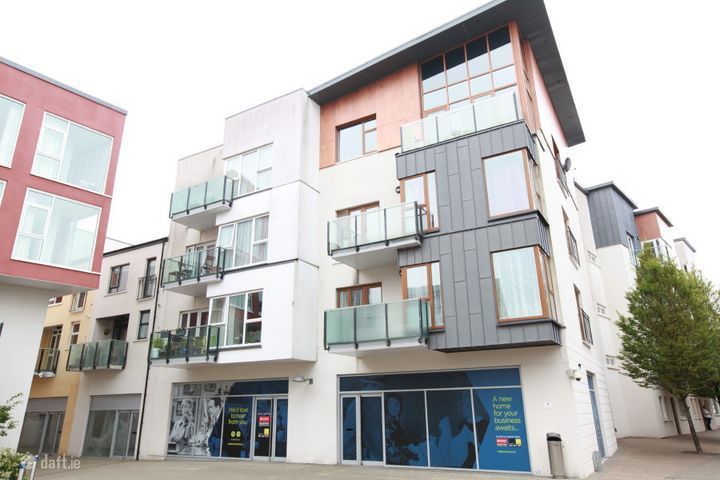
Apartment 168, The Quadrants, Ballincollig, Cork, Carrigroha...
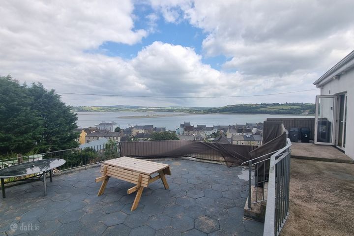
Hayman'S Hill, Youghal, Youghal, Co. Cork, P36W267
Clogheen (Co. Tipp) near, Mitchelstown, Co. Cork
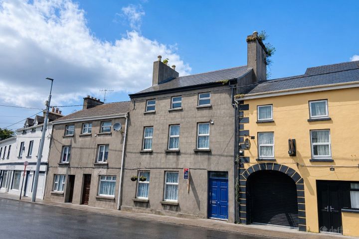
Glandore, Mardyke Walk, Cork City Centre, Co. Cork, T12A4VP

Ballynona House, Midleton, Co. Cork, P25CY53
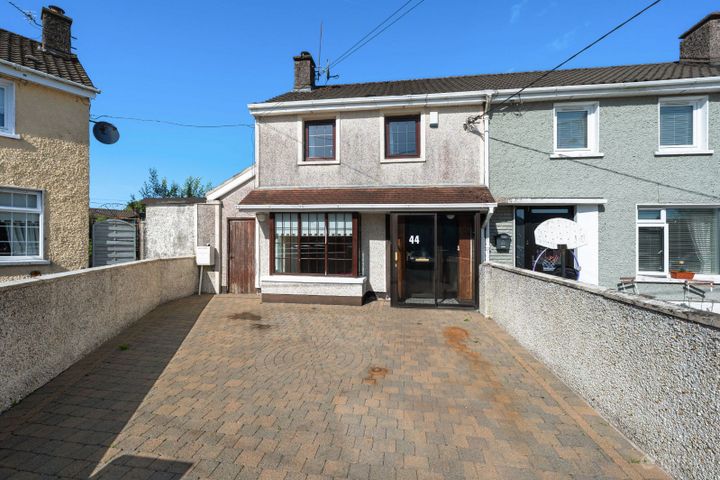
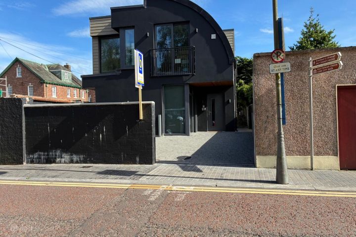
44 Connolly Park, Ballyphehane, Ballyphehane, Co. Cork, T12A...
What Our Customers Say
“We were about to put an offer on a house that turned out to have a medium flood risk rating. The PropertyPack report flagged it clearly. Best money we ever spent on the house hunt. It genuinely saved us from a costly mistake.”
Mark & Lisa Donovan
First-time buyers, Dublin
Flood Risk in Cork: FAQs
A PropertyPack report for any Cork address covers 10 risk categories: flood risk (OPW data), radon levels (EPA data), BER ratings (SEAI), property prices (Property Price Register), crime statistics (CSO), school catchment, broadband speeds, planning applications, water quality, air quality, mica/pyrite risk, noise levels, and more. Every data point is specific to your exact Eircode.
PropertyPack reports for Cork start from €29 for a standard report. Premium reports with additional detail and PDF download are also available. Each report covers 10 risk sections using official Irish government data sources.
Flood risk in Cork varies by location. Coastal areas and properties near the Lee, Blackwater, Bandon face higher risk. The OPW has mapped detailed flood zones across Cork. PropertyPack checks your specific Eircode against these maps and includes historical flood event data.
The main rivers in Cork are the Lee, Blackwater, Bandon. Combined with coastal exposure, these create both fluvial and tidal/coastal flood risk. OPW flood relief schemes are active or planned along several of these river systems.
Risk levels vary across Cork depending on which factor you're considering. Properties away from Lee and Blackwater and Bandon flood plains have lower flood risk. Areas with less granite bedrock have lower radon risk. Well-established residential areas in Cork City, Cobh, Mallow tend to have better broadband, lower crime, and closer school access. PropertyPack helps you compare specific locations within Cork across 10 risk categories.
Get Free Cork Property Alerts
We'll send you property risk insights, market updates, and a heads-up before our introductory €29 report price goes up.
No spam. Unsubscribe anytime. We never share your email.
More Property Reports
Flood Risk in Neighbouring Counties
Check flood risk for any address in Cork
Enter an Eircode or paste a listing URL to get a comprehensive 10-section property risk report for any property in Co. Cork.