
Flood Zone Map: Dublin, Co. Dublin
10 official risk checks for any property in Co. Dublin. Trusted by home buyers across Leinster.
Check Any Dublin Property
Enter an Eircode, address, or paste a listing URL
Official data sourced from Irish government agencies


Flood Map in Co. Dublin, Leinster
PropertyPack provides a comprehensive 10-section property report for any address in Dublin, Leinster. With a population of 1.45 million and a landscape characterised by Ireland's capital region, coastal city with the Wicklow Mountains to the south, Dublin presents unique property risk factors that our data-driven analysis covers in depth, from flood risk along the Liffey and Dodder and Tolka to BER ratings, crime statistics, and school catchment data.
location_onCo. Dublin at a Glance
- Population
- 1,450,000
- Province
- Leinster
- Coastline
- Coastal county
- Character
- Urban
- Main Rivers
- Liffey, Dodder, Tolka
Official Risk Checks
Government Data Sources
Average Report Time
Reports Generated
What We Check for Every Dublin Property
Every PropertyPack report covers 10 distinct risk categories, all aggregated from official Irish government data.
Plus more checks across insurance, neighbourhood, transport and more.
See Full Reportarrow_forward
Know the risks before you sign in Dublin
Discover the full picture of any Dublin property. Our reports combine data from 10 official sources to simplify your due diligence and protect your investment.
Explore a Sample Reportarrow_forwardProperties for Sale in Dublin
Latest properties on the market in Co. Dublin. Click “Check Risks” to run a PropertyPack report on any listing.
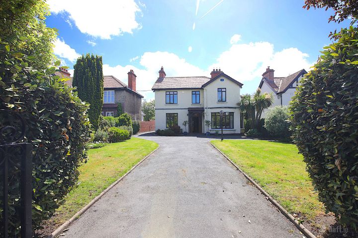
Derry Ronane, 71 Howth Road, Clontarf, Dublin 3, D03FH48
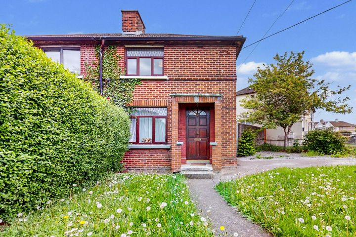
262 Keeper Road, Dublin 12, Drimnagh, Dublin 12, D12WF34
25 Saint Benedict's Gardens, Phibsborough, Dublin 7, D07XW35
146 Navan Road, Dublin 7, D07T0V1
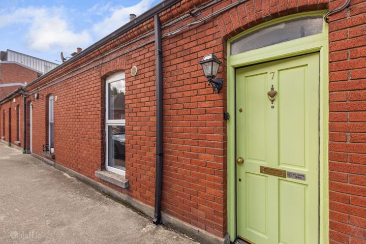
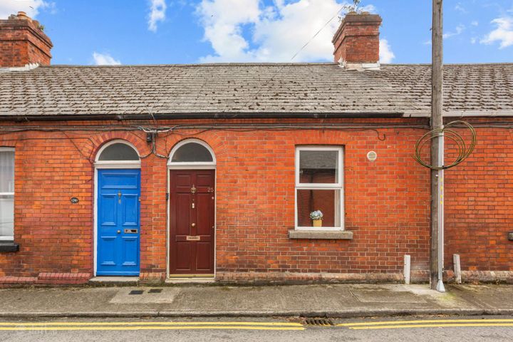
7 Synnott Row, Phibsborough, Dublin 7, D07AR23
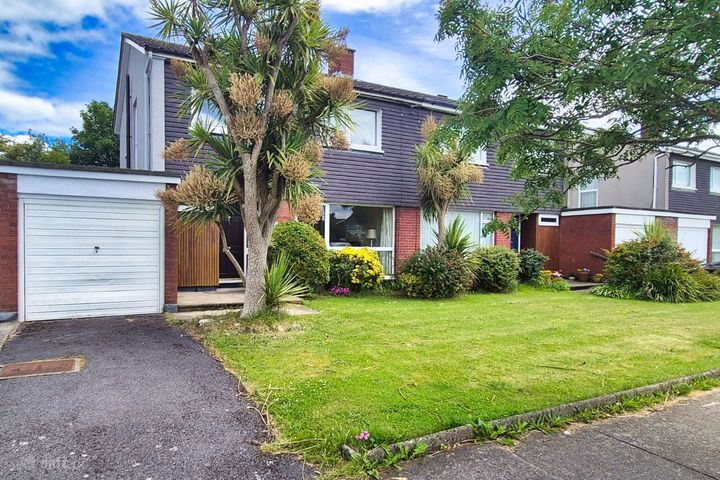
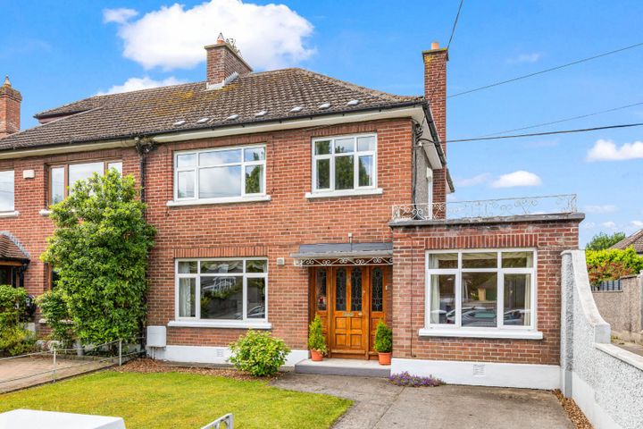
24 Sutton Grove, Sutton, Dublin 13, D13Y6N3
What Our Customers Say
“We were about to put an offer on a house that turned out to have a medium flood risk rating. The PropertyPack report flagged it clearly. Best money we ever spent on the house hunt. It genuinely saved us from a costly mistake.”
Mark & Lisa Donovan
First-time buyers, Dublin
Flood Map in Dublin: FAQs
A PropertyPack report for any Dublin address covers 10 risk categories: flood risk (OPW data), radon levels (EPA data), BER ratings (SEAI), property prices (Property Price Register), crime statistics (CSO), school catchment, broadband speeds, planning applications, water quality, air quality, mica/pyrite risk, noise levels, and more. Every data point is specific to your exact Eircode.
PropertyPack reports for Dublin start from €29 for a standard report. Premium reports with additional detail and PDF download are also available. Each report covers 10 risk sections using official Irish government data sources.
Risk levels vary across Dublin depending on which factor you're considering. Properties away from Liffey and Dodder and Tolka flood plains have lower flood risk. Areas with less granite bedrock have lower radon risk. Well-established residential areas in Dublin City, Swords, Dun Laoghaire tend to have better broadband, lower crime, and closer school access. PropertyPack helps you compare specific locations within Dublin across 10 risk categories.
Get Free Dublin Property Alerts
We'll send you property risk insights, market updates, and a heads-up before our introductory €29 report price goes up.
No spam. Unsubscribe anytime. We never share your email.
More Property Reports
Flood Map in Neighbouring Counties
Check if any Dublin property is in a flood zone
Enter an Eircode or paste a listing URL to get a comprehensive 10-section property risk report for any property in Co. Dublin.