
Property Reports Near Limerick, Co. Limerick
10 official risk checks for any property in Co. Limerick. Trusted by home buyers across Munster.
Check Any Limerick Property
Enter an Eircode, address, or paste a listing URL
Official data sourced from Irish government agencies


Near Me in Co. Limerick, Munster
PropertyPack provides a comprehensive 10-section property report for any address in Limerick, Munster. With a population of 209,000+ and a landscape characterised by Shannon estuary lowlands with the Ballyhoura and Galtee Mountains to the south, Limerick presents unique property risk factors that our data-driven analysis covers in depth, from flood risk along the Shannon and Maigue and Deel to BER ratings, crime statistics, and school catchment data.
location_onCo. Limerick at a Glance
- Population
- 209,000
- Province
- Munster
- Coastline
- Inland county
- Character
- Mixed Urban / Rural
- Main Rivers
- Shannon, Maigue, Deel
Official Risk Checks
Government Data Sources
Average Report Time
Reports Generated
What We Check for Every Limerick Property
Every PropertyPack report covers 10 distinct risk categories, all aggregated from official Irish government data.
Plus more checks across insurance, neighbourhood, transport and more.
See Full Reportarrow_forward
Know the risks before you sign in Limerick
Discover the full picture of any Limerick property. Our reports combine data from 10 official sources to simplify your due diligence and protect your investment.
Explore a Sample Reportarrow_forwardProperties for Sale in Limerick
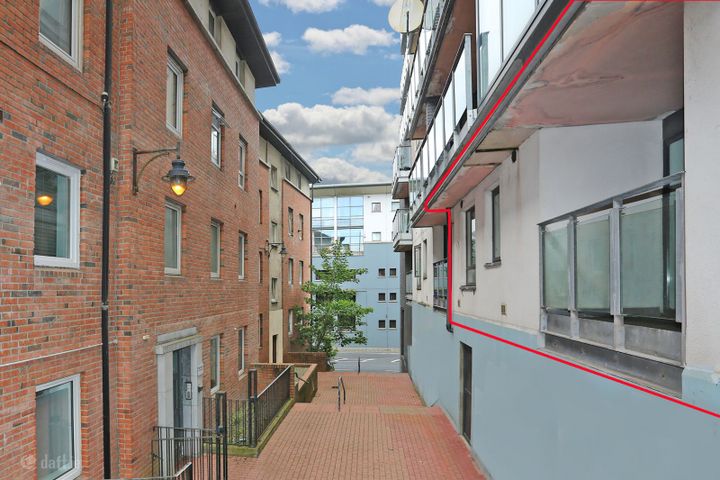
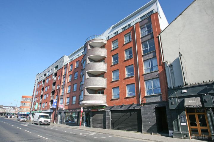
Latest properties on the market in Co. Limerick. Click “Check Risks” to run a PropertyPack report on any listing.
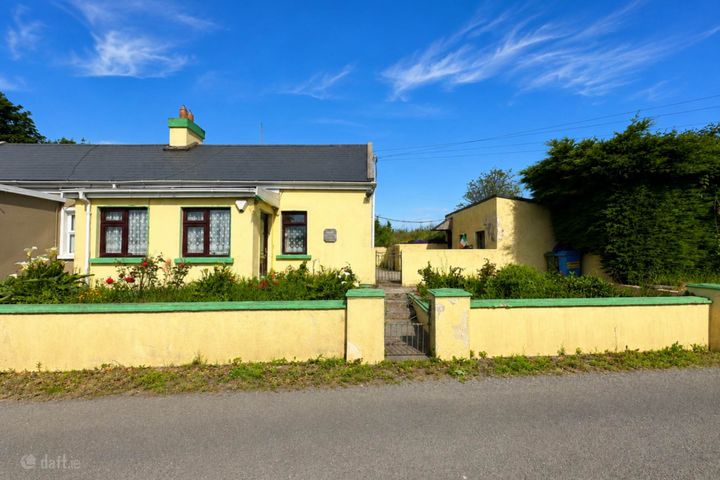
Bulgaden, Kilmallock, Co. Limerick, V35PV07
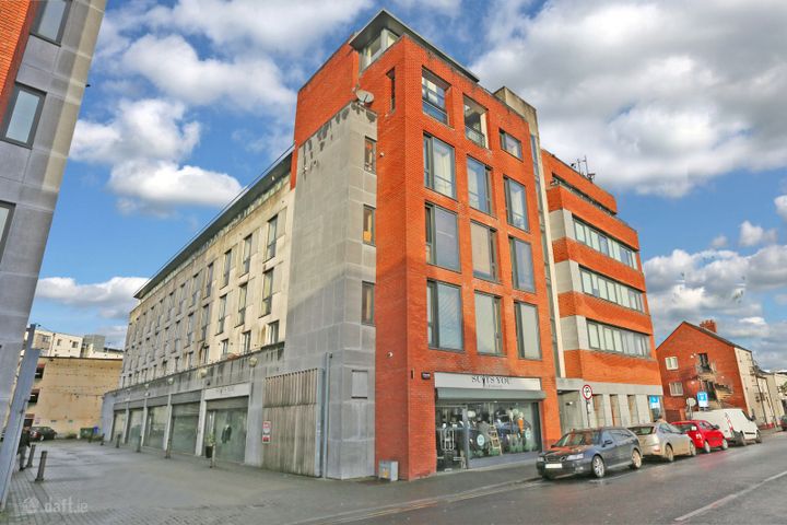
Apartment 2, Chapel Court, Limerick City Centre, Co. Limeric...
104 The Windmill, Dock Road, Limerick City Centre, Co. Limer...
Apartment 27, The Steeples, Limerick City Centre, Co. Limeri...
Ballinena, Newcastle West, Co. Limerick, V42AH95
153 Lynwood Park, Ballysimon, Limerick, Co. Limerick, V94EDR...
What Our Customers Say
“We were about to put an offer on a house that turned out to have a medium flood risk rating. The PropertyPack report flagged it clearly. Best money we ever spent on the house hunt. It genuinely saved us from a costly mistake.”
Mark & Lisa Donovan
First-time buyers, Dublin
Near Me in Limerick: FAQs
A PropertyPack report for any Limerick address covers 10 risk categories: flood risk (OPW data), radon levels (EPA data), BER ratings (SEAI), property prices (Property Price Register), crime statistics (CSO), school catchment, broadband speeds, planning applications, water quality, air quality, mica/pyrite risk, noise levels, and more. Every data point is specific to your exact Eircode.
PropertyPack reports for Limerick start from €29 for a standard report. Premium reports with additional detail and PDF download are also available. Each report covers 10 risk sections using official Irish government data sources.
PropertyPack reports are generated instantly. Enter an Eircode or paste a Daft.ie/MyHome.ie listing URL, and you'll have your 10-section report within minutes. We compile data from 10+ official sources for any address in Limerick.
Yes. A PropertyPack report focuses on 10 location-based risk factors: flood zones, radon, BER, crime, planning, etc. A structural survey inspects the physical building. We recommend both for a complete picture when buying in Limerick. PropertyPack provides the data that a structural surveyor doesn't cover.
Risk levels vary across Limerick depending on which factor you're considering. Properties away from Shannon and Maigue and Deel flood plains have lower flood risk. Radon risk is generally lower across most of the county. Well-established residential areas in Limerick City, Newcastle West, Abbeyfeale tend to have better broadband, lower crime, and closer school access. PropertyPack helps you compare specific locations within Limerick across 10 risk categories.
Get Free Limerick Property Alerts
We'll send you property risk insights, market updates, and a heads-up before our introductory €29 report price goes up.
No spam. Unsubscribe anytime. We never share your email.
More Property Reports
Near Me in Neighbouring Counties
Check any property near Limerick
Enter an Eircode or paste a listing URL to get a comprehensive 10-section property risk report for any property in Co. Limerick.