
School Catchment Areas: Kerry, Co. Kerry
10 official risk checks for any property in Co. Kerry. Trusted by home buyers across Munster.
Check Any Kerry Property
Enter an Eircode, address, or paste a listing URL
Official data sourced from Irish government agencies


School Catchment in Co. Kerry, Munster
School catchment areas in Kerry affect property values and family decisions. Schools in Kerry are concentrated around Tralee, Killarney, Listowel, with school transport serving more remote areas. PropertyPack maps the nearest primary and secondary schools to any Eircode in Kerry, including school type, patronage body, and distance, helping families make informed decisions about where to buy.
location_onCo. Kerry at a Glance
- Population
- 155,000
- Province
- Munster
- Coastline
- Coastal county
- Character
- Predominantly Rural
- Main Rivers
- Laune, Maine, Flesk
Official Risk Checks
Government Data Sources
Average Report Time
Reports Generated
What We Check for Every Kerry Property
Every PropertyPack report covers 10 distinct risk categories, all aggregated from official Irish government data.
Plus more checks across insurance, neighbourhood, transport and more.
See Full Reportarrow_forward
Know the risks before you sign in Kerry
Discover the full picture of any Kerry property. Our reports combine data from 10 official sources to simplify your due diligence and protect your investment.
Explore a Sample Reportarrow_forwardProperties for Sale in Kerry
Latest properties on the market in Co. Kerry. Click “Check Risks” to run a PropertyPack report on any listing.
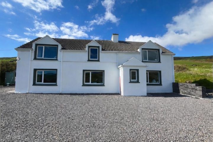
Rathkieran, Emlaghmore, Killonecaha, Co. Kerry, V23KP21
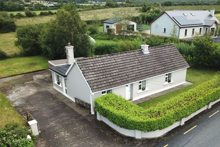
22 Ard an Oir, Kenmare Road, Sneem, Co. Kerry, V93H5NY
Ballyplymouth, Cordal, Castleisland, Co. Kerry, V92Y5T3

Boolakeel House, Ballinskelligs, Co. Kerry, V23X735
What Our Customers Say
“We were about to put an offer on a house that turned out to have a medium flood risk rating. The PropertyPack report flagged it clearly. Best money we ever spent on the house hunt. It genuinely saved us from a costly mistake.”
Mark & Lisa Donovan
First-time buyers, Dublin
School Catchment in Kerry: FAQs
A PropertyPack report for any Kerry address covers 10 risk categories: flood risk (OPW data), radon levels (EPA data), BER ratings (SEAI), property prices (Property Price Register), crime statistics (CSO), school catchment, broadband speeds, planning applications, water quality, air quality, mica/pyrite risk, noise levels, and more. Every data point is specific to your exact Eircode.
PropertyPack reports for Kerry start from €29 for a standard report. Premium reports with additional detail and PDF download are also available. Each report covers 10 risk sections using official Irish government data sources.
PropertyPack sources school catchment data from official Irish government agencies. School data comes from the Department of Education. All data is specific to your exact Eircode in Kerry.
Risk levels vary across Kerry depending on which factor you're considering. Properties away from Laune and Maine and Flesk flood plains have lower flood risk. Areas with less granite bedrock have lower radon risk. Well-established residential areas in Tralee, Killarney, Listowel tend to have better broadband, lower crime, and closer school access. PropertyPack helps you compare specific locations within Kerry across 10 risk categories.
Get Free Kerry Property Alerts
We'll send you property risk insights, market updates, and a heads-up before our introductory €29 report price goes up.
No spam. Unsubscribe anytime. We never share your email.
More Property Reports
School Catchment in Neighbouring Counties
Find schools near any address in Kerry
Enter an Eircode or paste a listing URL to get a comprehensive 10-section property risk report for any property in Co. Kerry.