
Snag List & Property Report: Donegal, Co. Donegal
10 official risk checks for any property in Co. Donegal. Trusted by home buyers across Ulster.
Check Any Donegal Property
Enter an Eircode, address, or paste a listing URL
Official data sourced from Irish government agencies


Snag List in Co. Donegal, Ulster
Pairing your snag list with a comprehensive property report gives you the full picture for any new build in Donegal. While a snagging inspection checks construction quality, PropertyPack checks the 10 external risk factors that affect the location: flood zones near Erne and Swilly and Finn, radon levels (elevated in parts of Donegal due to granite geology), BER performance, school proximity, and broadband coverage in Letterkenny, Buncrana, Donegal Town and beyond.
location_onCo. Donegal at a Glance
- Population
- 167,000
- Province
- Ulster
- Coastline
- Coastal county
- Character
- Predominantly Rural
- Main Rivers
- Erne, Swilly, Finn
Official Risk Checks
Government Data Sources
Average Report Time
Reports Generated
What We Check for Every Donegal Property
Every PropertyPack report covers 10 distinct risk categories, all aggregated from official Irish government data.
Plus more checks across insurance, neighbourhood, transport and more.
See Full Reportarrow_forward
Know the risks before you sign in Donegal
Discover the full picture of any Donegal property. Our reports combine data from 10 official sources to simplify your due diligence and protect your investment.
Explore a Sample Reportarrow_forwardProperties for Sale in Donegal
Latest properties on the market in Co. Donegal. Click “Check Risks” to run a PropertyPack report on any listing.
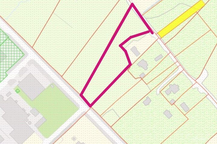
Carrickataskin, Derrybeg, Derrybeg, Co. Donegal, F92P7X0
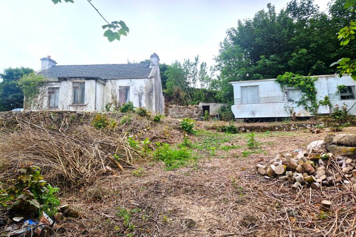
Ballindrait, Bunbeg, Bunbeg, Co. Donegal, F92F8N8
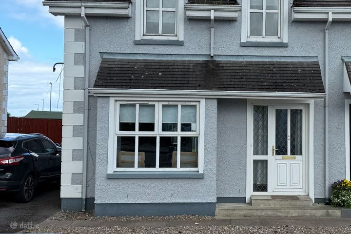
103 White Maples, Church Road, Bundoran, Co. Donegal, F94VR9...

Rosapenna, Kinnalargy, Downings, Co. Donegal, F92HY80

Milltown, Buncrana, Buncrana, Co. Donegal, F93D9C6
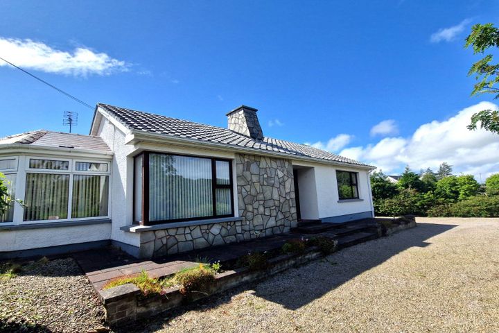
Sandfield, Ardara, Rossbeg, Co. Donegal, F94E7C7
What Our Customers Say
“We were about to put an offer on a house that turned out to have a medium flood risk rating. The PropertyPack report flagged it clearly. Best money we ever spent on the house hunt. It genuinely saved us from a costly mistake.”
Mark & Lisa Donovan
First-time buyers, Dublin
Snag List in Donegal: FAQs
A PropertyPack report for any Donegal address covers 10 risk categories: flood risk (OPW data), radon levels (EPA data), BER ratings (SEAI), property prices (Property Price Register), crime statistics (CSO), school catchment, broadband speeds, planning applications, water quality, air quality, mica/pyrite risk, noise levels, and more. Every data point is specific to your exact Eircode.
PropertyPack reports for Donegal start from €29 for a standard report. Premium reports with additional detail and PDF download are also available. Each report covers 10 risk sections using official Irish government data sources.
PropertyPack reports are generated instantly. Enter an Eircode or paste a Daft.ie/MyHome.ie listing URL, and you'll have your 10-section report within minutes. We compile data from 10+ official sources for any address in Donegal.
Yes. A PropertyPack report focuses on 10 location-based risk factors: flood zones, radon, BER, crime, planning, etc. A structural survey inspects the physical building. We recommend both for a complete picture when buying in Donegal. PropertyPack provides the data that a structural surveyor doesn't cover.
Risk levels vary across Donegal depending on which factor you're considering. Properties away from Erne and Swilly and Finn flood plains have lower flood risk. Areas with less granite bedrock have lower radon risk. Well-established residential areas in Letterkenny, Buncrana, Donegal Town tend to have better broadband, lower crime, and closer school access. PropertyPack helps you compare specific locations within Donegal across 10 risk categories.
Get Free Donegal Property Alerts
We'll send you property risk insights, market updates, and a heads-up before our introductory €29 report price goes up.
No spam. Unsubscribe anytime. We never share your email.
More Property Reports
Snag List in Neighbouring Counties
Get your property report alongside your snag list in Donegal
Enter an Eircode or paste a listing URL to get a comprehensive 10-section property risk report for any property in Co. Donegal.